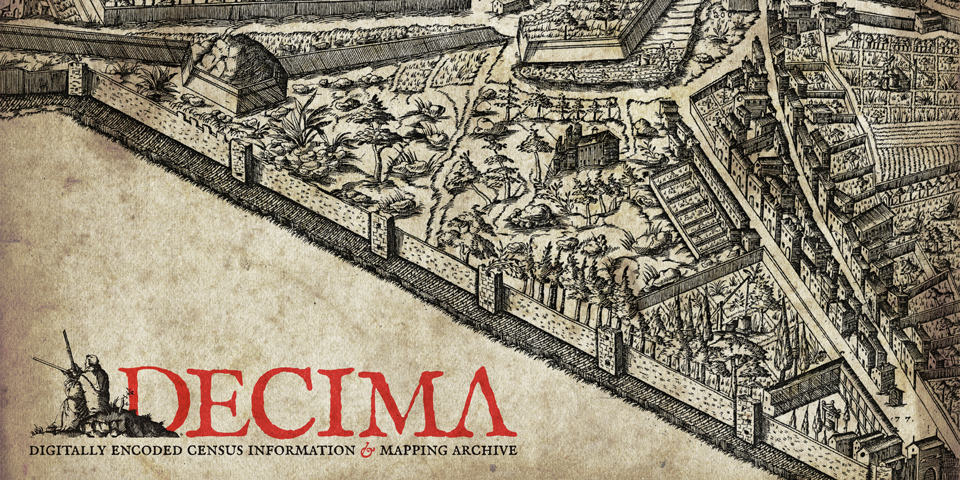
Explore 16th-century Florence: DECIMA: The Digitally Encoded Census Information and Mapping Archive
2014-12-11
Today, in the UvA Urban History Seminar, prof. dr. Nicholas Terpstra (Toronto) introduced the DECIMA GIS project on 16th century Florence, showing how one could go about mapping social, economic and sensory life in the early modern city. How can we use GIS methods toREAD MORE

